Advanced Aerial Data Solutions
Actionable insights from drone data
Advanced photogrammetry, LiDAR, thermal, and multispectral technologies to capture precise site data.
From construction to land development, we deliver the accuracy you need to plan and build with confidence.
Receive precise aerial insights tailored to your project’s unique needs
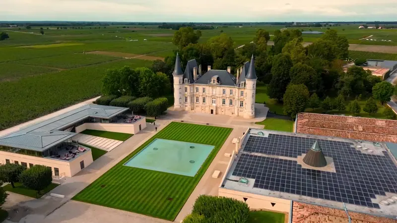
Aerial Advantage
Our Services
LiDAR Scanning
Capture highly detailed 3D models of terrain, buildings, and vegetation for precise analysis and smarter project planning.
Drone Inspections
From construction sites to cell towers and solar farms, conduct safe, non-invasive inspections using drone technology.
Surveying & Mapping
Transform your site into accurate, high resolution maps and data sets for construction, engineering, and land development.
Aerial Imaging
Get stunning, bird’s eye views of your projects to monitor progress, showcase sites, and make informed decisions faster.
Your trusted provider of advanced drone data
Helping industries across Canada transform how they plan, inspect, and manage physical assets.
We specialize in delivering high resolution aerial imagery, LiDAR scanning, 3D mapping, and volumetric analysis tailored to industries such as construction, commercial and residential real estate, land development, mining, agriculture, infrastructure, and environmental management.
visual progress tracking
Progress Monitoring for construction
Experience accurate, visual progress tracking for your construction projects.
Contact us today to schedule a demo or site capture and see how our drone-based progress monitoring can help you stay on schedule and within budget.
general questions
Frequently asked questions.
Find out what you could be missing with a complimentary initial consultation.
Do you have more questions? Contact us
We provide drone surveying and inspection solutions for construction, land development, engineering, forestry, and mining projects.
Our services include photogrammetry, LiDAR, thermal, and multispectral imaging to provide precise 2D maps, 3D models, and actionable insights.
Using high precision drones and advanced processing software, we deliver highly accurate measurements, topographic models, and volumetric analyses you can trust.
Yes. Our licensed drone operators follow strict safety protocols and comply with all Canadian aviation regulations to ensure safe operations.
Most projects are completed and delivered within 2 days, depending on site size and data complexity, allowing you to make faster, informed decisions.
Book a complimentary consultation to discuss your project needs. We’ll recommend the best drone solutions and show how our data can benefit your workflow.
Start flying with us
Airmatix Pilot Partner Network
We’re building Canada’s most trusted drone pilot network. Our goal is to connect skilled pilots with meaningful opportunities while giving clients access to the best talent in the industry.
Whether you’re an experienced operator or just starting your drone career, joining the Airmatix Pilot Partner Network means becoming part of a growing community where your work is valued, your skills are respected, and your time is rewarded fairly.